Merthyr Tydfil to Brecon
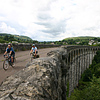
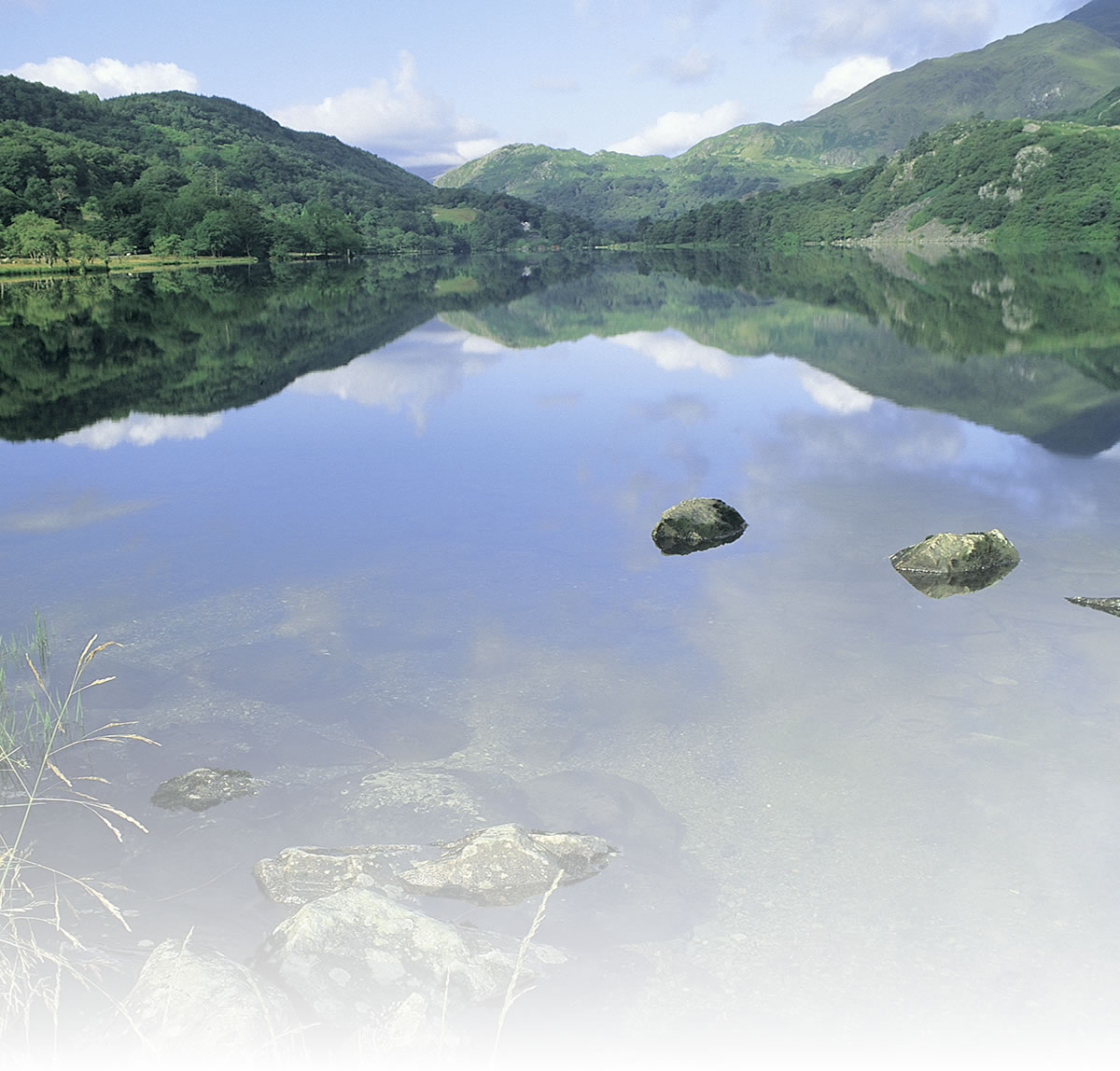
This route is for those who would like to get into the heart of the national park, but it starts from possibly the most famous of the South Wales’ former mining towns, and ends in the picturesque rural town of Brecon.
The contrasts don’t just stop there. The route utilises many path types, from old railway line converted to dust cycle path, to forest roads, undulating forest paths, minor roads and canal towpath. There is conifer and deciduous woodland, open heath-land and agricultural hedge lined fields.
Very few routes can offer such a wide range of scenery types and points of interest.
Due to the range of path surface types, a road bike is probably not suitable.
Natural attractions:
- Brecon Beacons National Park
Visitor attractions:
- Brecon Mountain Railway
Route submitted by: Sustrans
Tags
Route map
View Merthyr Tydfil to Breacon in a larger map
Comments (0)
Key route details
- Region/Area:
South Wales Valleys
- Distance:
25 miles
- Classification:
Hard/Challenge
- Traffic:
Traffic Free and minor roads
- Surface:
Mixed
- NCN Route:
8
- Start:
Merthyr Tydfil
- Finish:
Brecon
- Access:
Merthyr Tydfil Railway Station
- Maps and guides:
-
Celtic Trail - East NN4B £6.99 Celtic Trail Guidebook – £6.99 Taff Trail Leaflet – Free PDF Celtic Trail Leaflet – Free PDF
Choose another route