Cardigan to Cilgerran
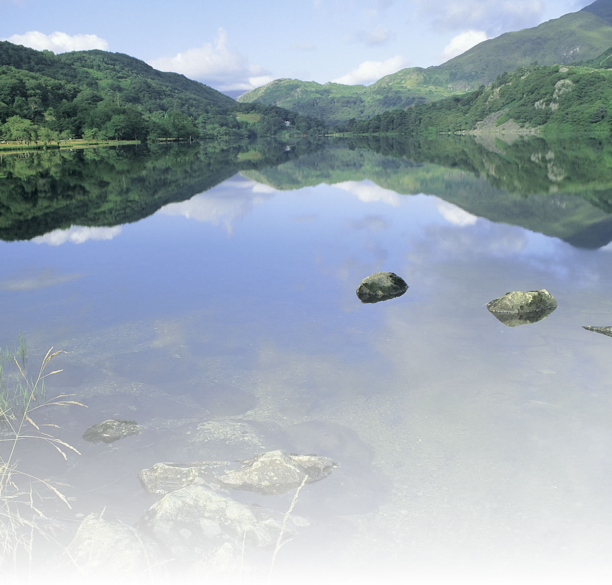
This is a short ride in deepest Ceredigion starting from the historic coastal town of Cardigan and running along the tidal estuary of the River Teifi through extensive reed beds to the village of Cilgerran with its castle, pubs and tea shop.
The ride starts just to the south of the old bridge over the river in Cardigan. The trail runs along the top of a causeway built of furnace waste in 1885 to carry the Whitland & Cardigan railway over the marshlands of the Teifi estuary. Its construction changed the marshes by holding back the salt water that flooded in twice a day.
The route runs through what is one of the largest areas of Common Reed in Wales. Reed Buntings are resident birds and spring sees the arrival of Sedge Warblers and Reed Warblers from Africa.
As for Cilgerran Castle, the Normans first saw the potential of the location and built an early ‘ringwork’ castle but the imposing masonry castle that stands today was probably the work of William Marshal, Earl of Pembroke in the early 13th century.
Natural attractions:
- Reed beds
- wildfowl
Visitor attractions:
- Cardigan’s fine old quayside buildings
- Wildlife Centre
- Cilgerran Castle
Route submitted by: Sustrans
Tags
Route map
View Larger Map
Comments (0)
Key route details
- Region/Area:
South West Wales
- Distance:
3 miles
- Time needed:
0.5 hour
- Classification:
Easy
- Traffic:
Traffic-free with one short section on a quiet lane into Cilgerran
- Surface:
Mixed
- NCN Route:
National Route 82
- Start:
Opposite the Eagle Inn on the south side of the old bridge in Cardigan
- Finish:
Cilgerran
- Cycle hire:
New Image Bicycles, Cardigan. Tel: 01239 621275
- Access:
No nearby train station (Fishguard is 17 miles southwest)
- Maps and guides:
-
 Lôn Cambria & Lôn Teifi NN81 £6.99
 Lôn Cambria & Lôn Teifi Guidebook – £6.99
Cardi Bach Leaflet – Free PDF - Links with:
The nearest traffic-free trail is south of Haverfordwest (Brunel Trail)
Choose another route