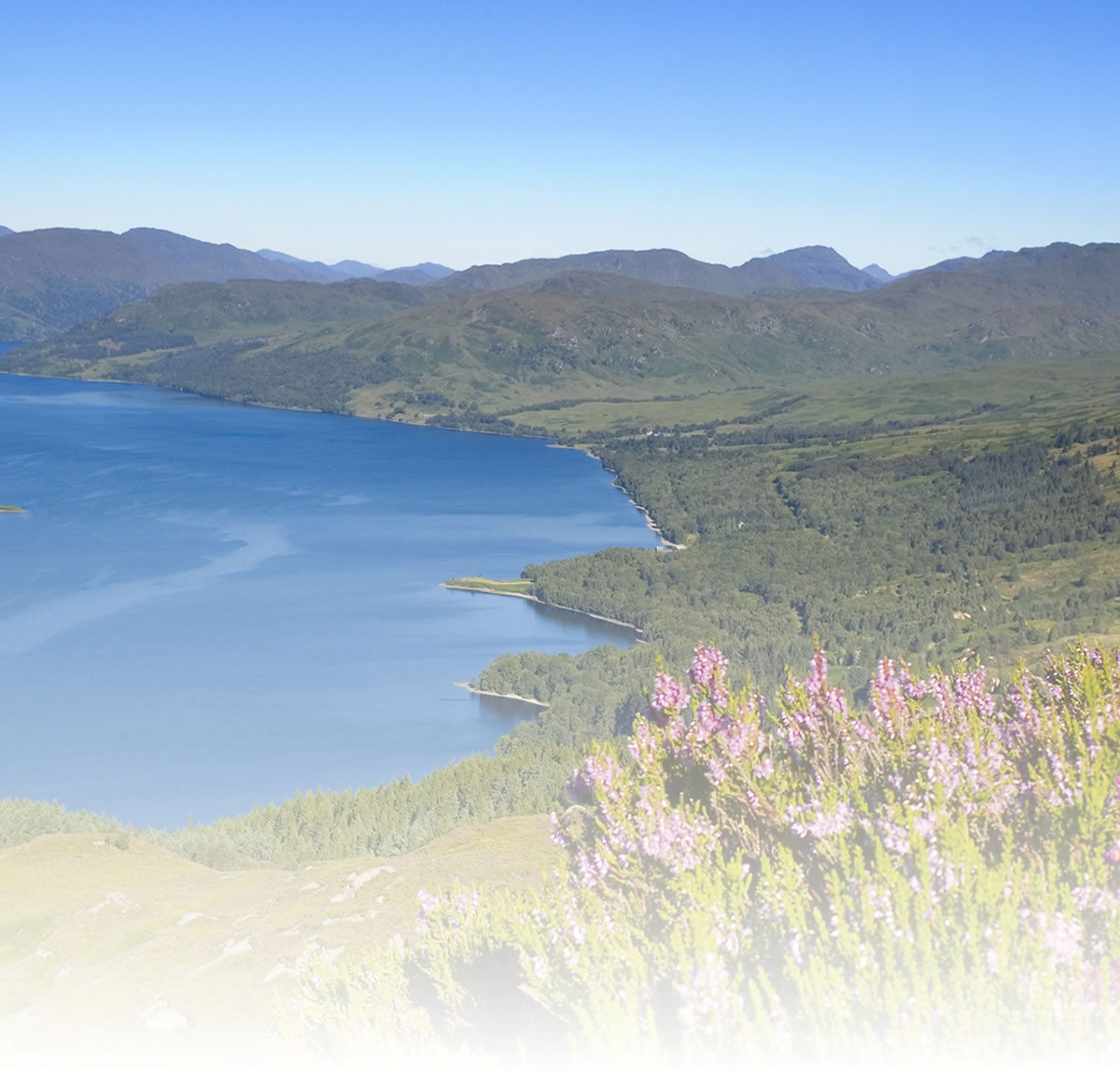
Monifieth Circular
1. Cycle in the direction of the railway bridge mentioned in the ‘Getting There’ sec-tion above. Do not go under the bridge, but turn right on to the cycle track which leads to Barry railway junction. (3 miles)
2. Go through the gate, cross the road and continue straight ahead on a path to the left of the golf course. Look out for stray balls, since this is a practice area! At the end of the golf course at the No Entry sign turn right. The signpost here indicates Route 1 NCN, Westhaven 1¼ miles, Angus Coastal Path (4 miles)
3. After a few yards turn left at the T’junction and follow this road alongside a fur-ther section of the golf course. Take the 2nd on the left going under a railway bridge into Ferrier Street. Look out for the Dibble Tree on the right.
4. Turn right at the junction opposite The Old Nick, then 1st left into Queen Street and left again into Terrace Road. (It is also possible to reach Terrace Road by pushing your bike up a path at the right-hand side of The Old Nick.
5. At the end of Terrace Road, turn right (almost straight ahead) into Balmachie Road, passing a park on the right hand side. Turn 2nd left into Shanwell Road and go past Carnoustie High school on to a rough track. (5.4 miles)
6. At the end of the track turn right (6.2 miles). This road leads under the A92 Dundee to Arbroath dual carriageway then continues towards Craigton. Take the first turning on the left (7.8 miles)
7. About 1.5 miles along this road you pass the Carlungie Souterain., which is well worth a visit. At the T’junction turn left towards Monifieth. (10.2 miles)
8. Just before you go under the A92 dual carriageway again you will see a gate and path on your right. This leads to the Ardestie Souterain. Continue downhill towards the town. At the junction turn left into Panmure Street in the direction of Carnoustie. (12.00 miles)
9. Cross over the burn and take the path on the right alongside it. (Alternatively continue to the bend in the road and turn right into Dalhousie Street.)
10. At Ramsay Street turn left and first right into Dalhousie Street, Continue through the houses to Tay Street. Turn left and follow this road as it bends right then turn left under the railway tunnel and back to the start (12.70 miles)
Natural attractions:
Visitor attractions:
- Barry Mill
One of Scotland’s last working water-powered meal mills is only a short distance from the route. Here visitors can learn about the traditional milling process with demonstrations tak-ing place on Sunday afternoons. Records show there has been a mill on this site since 1539. The original building was destroyed by a fire. It was rebuilt in 1814 and extended in the 1930s. It is now owned by the National Trust for Scotland and although threatened with closure in 2009, it has been kept open with finan-cial support from Angus Council and the recently formed Friends of Barry Mill.
- Souterains
The route goes directly past the Ardestie and Carlungie Earth Houses, which are particularly fine examples of this type of building.
Visit www.sustrans.org.uk/map
The Complete National Cycle Network App
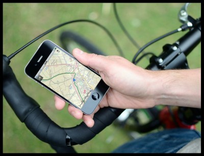
You can also access Sustrans online mapping with the Complete National Cycle Network app. The app includes all of our online features as well as:
- GPS tracking – record and share routes
- Storage of map backgrounds for areas without mobile signal
To download the app, visit the Sustrans website
Route submitted by: Sustrans
Tags
Route map
View Monifieth loop in a larger map
Comments
Key route details
- Region/Area:
Central Scotland
- Distance:
14 miles
- Time needed:
2 hours
- Classification:
Moderate
- Traffic:
Mixed
- Surface:
Mixed
- NCN Route:
NCN 1
- Start:
Monifieth Beach Car park
- Finish:
Monifieth Beach Car park
- Access:
Monifieth Rail Station
Choose another route