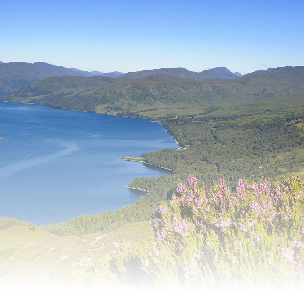
Hawick Loop
Start from the car park at Upper Common Haugh car park on the opposite side of the River Teviot from Hawick High School.
Leave the car park on the south side over Lawson footbridge, which leads into St. Georges Lane. Turn right at the far end into Buccleuch Street, then first left into Buccleuch Place. Turn left at the top of this road into Drumlanrig Square and bear right through the square into Kirk Wynd. Cross the bridge over Stirling Water to reach a ‘T’ junction at Slitrig Crescent.
Turn right and leave Hawick on the B6399, following the river upstream. About 1/2 mile after leaving the 30mph zone, take the first turning on the left up Lover’s Loan , which climbs steeply up a Wooded dean. After about 1 mile along the lane you come to a ‘T’ junction with the A6088. Turn left at the junction then after 200 yards turn right towards Cavers. A short dip over a burn is followed by a mile of intermittent climbing. On your left a wide view opens out over Teviotdale beyond the distinctive Cavers church.
The road bends right at the summit then bends sharp left on the following descent, at which point Rubers Law comes into view to the south-east. Turn right at the bottom of the following long straight.
The road continues to descend past East Middle Farm, followed by a rather steeper ascent to the next minor summit, beyond which the next junction is reached. Turn right here, now heading south-west past Whitriggs Farm.
A long, gradual ascent ends when the A6088 is encountered for the second time. At the junction turn left. In just over a mile you reach Hawthornside. Instead of bearing left with the main road, make a switchback turn to your right into a minor road heading south-west (at this point you pick up signs for the Borders Loop cycle route. Follow these cycle way markers all the way back to Hawick).
The road climbs fairly gradually for a mile or so, and gives extensive views of Stonedge Forest and Wauchope Forest in the distance on the left. Beyond the summit it is generally easy cycling for the next two and a half miles through open hill country. The most interesting prospect on this section is straight ahead with the road heading almost directly towards the shapely summit of The Pike (463m). At the ‘T’ junction with the B6399 turn right and cycle north back towards Hawick.
The road soon starts to descend, steeply at first before easing somewhat at Stobs where it enters the valley of the Slitrig Water, which is followed all the way back to Hawick. The outward route is rejoined shortly before re-entering the town at Hummelknowe Bridge and is followed back to Upper Common Haugh.
Natural attractions:
- River Teviot
- Stilrig Water
- Rubers Law
Visitor attractions:
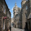
- Drumlarig's Tower
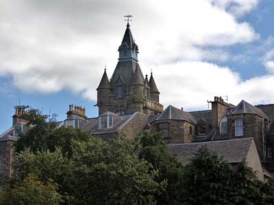
- Hawick Museum
- Wrights Woollen Mill
- Cavers Church
- The Horse and Hound Hotel
- Hawick Archery Centre
Visit www.sustrans.org.uk/map
The Complete National Cycle Network App
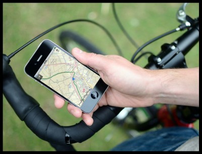
You can also access Sustrans online mapping with the Complete National Cycle Network app. The app includes all of our online features as well as:
- GPS tracking – record and share routes
- Storage of map backgrounds for areas without mobile signal
To download the app, visit the Sustrans website
Route submitted by: Sustrans
Tags
Route map
View Hawick Loop in a larger map
Comments
Key route details
- Region/Area:
Southern Scotland
- Distance:
19 miles
- Time needed:
2-3 hours
- Classification:
Moderate
- Traffic:
On road
- Surface:
Tarmac
- Start:
Upper Common Haugh, Hawick
- Finish:
Upper Common Haugh, Hawick
- Cycle hire:
- Borders Cycles, Hawick
Teviot Cycles, Hawick
- Borders Cycles, Hawick
- Access:
Find public transport information at TravelineScotland
- Guides & publications:
- Hawick Cycle Trails Map
- Links with:
The Borders Loop cycle route
Choose another route