Help
How to submit a route for the Routes2Ride Website
The Routes2Ride website is a community website featuring the best cycle rides in Scotland. Routes2Ride has over 60 routes across beautiful landscapes in Scotland, taking in breath-taking natural scenery and a whole host of historic attractions. By registering as a member of Routes2ride you will be able to submit your own suggested routes and view those added by other members in addition to those added by Sustrans. Members are also able to comment on featured routes.
This article outlines how to upload your own favourite routes on to the Routes2Ride website.
First of all it is necessary to register on the website with your email address and a chosen username and password. Once registered, log in and go to the ‘Submit a Route2ride’ page. On this page there are a number of entry fields that need filling in. All starred fields (such as Title*) are compulsory and must be filled in for your route to be added to the website. For a taste of what is required when submitting a route, have a look at some routes already uploaded onto this website.
Summary of Route
The ‘Summary of the Route’ field requires a short, concise overview of the route that will grab the reader’s imagination; try to make it sound positive and exciting, highlighting three or four main attractions along the way.
Description of Route
The ‘Description of the route’ field requires more detail than the summary. It is especially important to make this as accurate as possible if the route is not formalised and has no signage to point cyclists in the right direction. The best way to write this section is like a set of directions and instructions. It is important to add directions for any points along the route that are difficult to navigate. Remember to include road names, changes in terrain (ie a change from public road to a traffic-free path), important landmarks and features, as well as when and where to take a left or a right.
Natural attraction
‘Natural attractions’ involves listing the prominent or famous natural features along the way (ie Moray Firth, LochNess, Bo fiddle Rock, The Dog Stone).
Visitor attractions
‘Visitor attractions’ includes any prominent or famous man-made features along the route (ie Dunstaffnage Castle, Eilean Donan Castle,Glenfinnan Viaduct).
Tags
The ‘Tags’ entry field involves listing three or four words that could be used to search for the route using the ‘search this site’ facility at the top the page on the Routes2Ride website. It also allows you to search for other routes with similar search tags. It is best to list major towns on the route as well as a couple of prominent visitor or natural attractions used in the previous two entry fields. If the route lies along (or uses a section of) the National Cycle Network, it is good to add this to the tags (ie National Route 1 or National Route 75).
Route map
To add a 'Route map' (not a compulsory field) it is necessary to sign up for a Google email account to be able to use the “My Map” application offered with this web account provider. Once registered with a Google account, log in and click the ‘My Maps’ tab. Watch the short video that explains how to create route maps. Click the ‘Create new map’ tab and use the drawing tools (ie Draw a line and Draw a shape tool) to create a route and add place marks for important towns, cities and landmarks along the way. Place marks can also be used to highlight a complicated point in the route. Try to be as accurate as possible by zooming in when plotting the route and place marks. Once you have created a map, click the “Link” tab at the top right of the map page. Click and copy the HTML link (second box down) then paste it into the “Route Map” field on the “Submit Route2ride” page and hey presto, you have created a route for others to enjoy.
Region/Area
The ‘Region/Area’ field requires the Scottish geographical area. There are 5 area field options (noted in italics):
- The Northern Isles (Shetland / Orkeny / Western Isles)
- Northern Scotland (Highland / Moray / Aberdeenshire / Aberdeen City)
- Central Scotland (Argyll and Bute / Perth and Kinross / Angus / Dundee City / Stirling / Clackmannanshire / Fife / Inverclyde / West Dunbartonshire / East Dunbartonshire / North Lanarkshire / Falkirk / West Lothian / City of Edinburgh / Midlothian / East Lothian / Renfrewshire / City of Glasgow)
- Southern Scotland (North Ayrshire / East Renfrewshire / South Lanarkshire / Scottish Borders / East Ayrshire / Dumfires and Galloway)
Distance
There are a number of ways to obtain the ‘Distance’ of a route that has been created. It can be measured using the ‘My Maps’ feature in Google Maps by clicking on a route line that has been created. It can also be obtained if you have a bicycle computer with a trip distance function.
Time needed
The ‘Time needed’ field is worked out through applying a 10mile per hour average speed to all routes. Therefore a 10 mile trip would take an hour, a 15 mile trip would take 1.5 hours and so on.
Classification
‘Classification’ is a subjective measure of difficulty of a route. There are 4 classifications (see below in italics) of difficulty and the following offers guidelines as to which to use for your route.
- Easy (these routes will be completely (or at least 90% traffic-free), up to 10 miles long and have no hills or steep inclines)
- Medium (these routes will be traffic-free and / or on-road, between 5 and 20 miles with some hills but few steep section)
- Hard (routes will be traffic-free and / or on-road, between 20 miles and 100 miles with some hills and steep sections.
- Challenge routes will be traffic-free and on-road, over 20 miles with frequent hills, frequent steep sections and uneven surfaces, often suitable for mountain bikes only.
There is a degree of flexibility in this section as some relatively short distance rides will involve steep accents requiring a Hard / Challenge classification.
Traffic
There are 3 'traffic' classifications:
- Traffic-free (no sections of the route run along public roads used motor vehicles)
- On road (entire route is on public roads, with the possiblity of motor vehicles)
- Mixed (Some sections on public road with traffic and some sections are traffic-free)
Surface
There are 3 ‘Surface’ classifications and these are used to determine what type of bike to use for the route:
- Tarmac (entire route is on tarmac paths or roads)
- Gravel (entire route is on gravel / an unsealed surface. This includes mountain bike trails)
- Mixed (some sections on tarmac and some sections on gravel / unsealed surface)
National Cycle Network Route
In the ‘National Cycle Network route’ field write the National or Regional route number that your ride follows (i.e. National Route 1 or Regional Route 94). These routes can be found on the Sustrans Mapping website. Some submitted routes will not involve any National Cycle Network or Regional route at any point, for these routes simply put N/A.
Start / Finish
Inthe ‘Start’ and ‘Finish’ fields put the start point and finish point of the route. If it is a circular route these could be the same.
Cycle Hire
In the ‘Cycle Hire’ field write any local shops that offer bicycle hire along the route. If the starting point is in a big town or city like Edinburgh with numerous bike hire shops simply put ‘Lots of cycle hire available in Edinburgh’.
Access
The‘Access’ tab is for adding railway stations along the route. Simply list the towns and cities where there are working stations that link with the NationalRail Network. For information on trains, stations and timetables visit Scotrail.
Postcode (for the start point of the route)
‘Postcode of start of the route’ is pretty self explanatory; simply add the postcode of the City, town, village or area where the route starts. This will be used to show the weather forecast for that area once your ride is displayed.
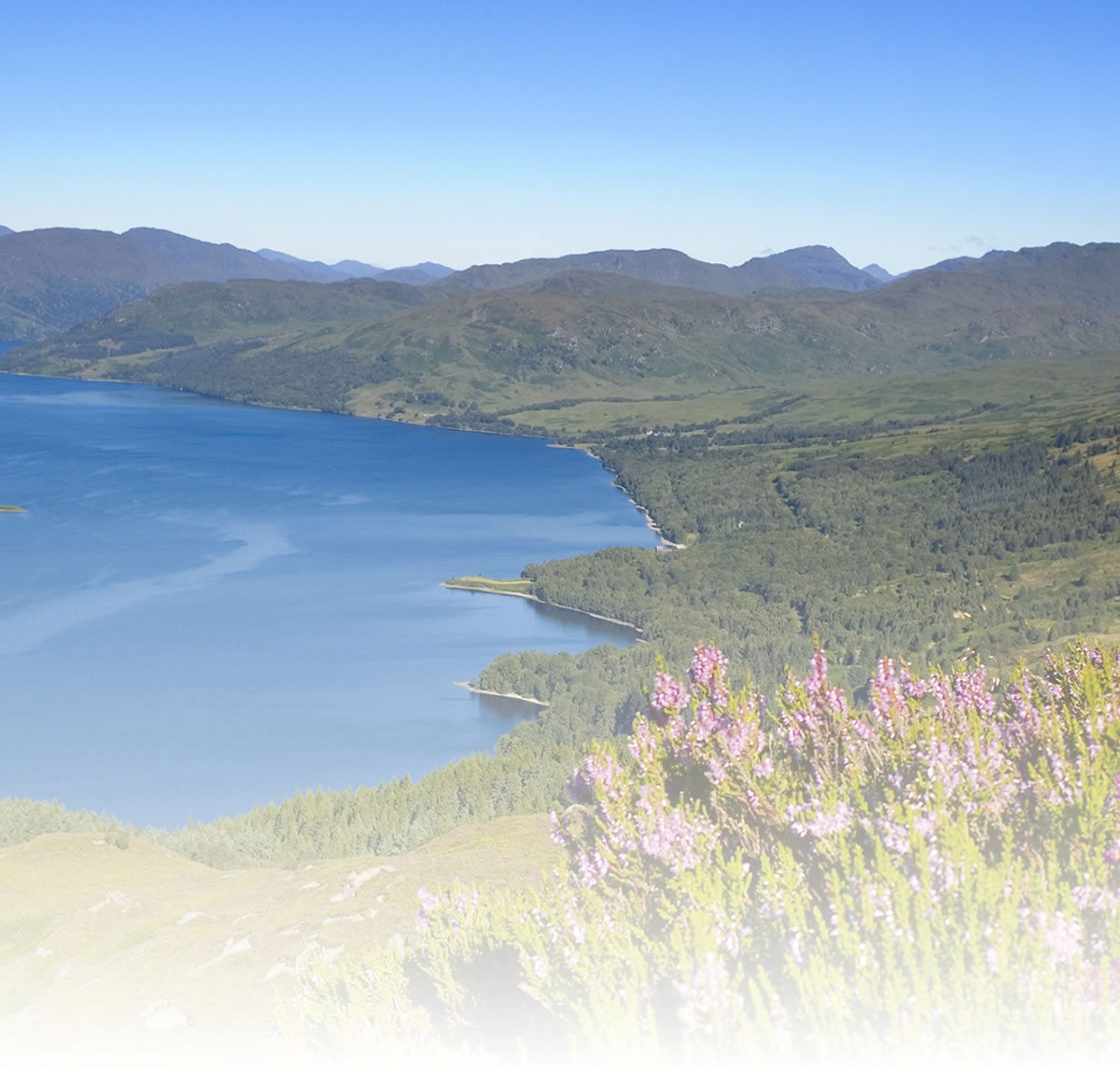
The last four fields are for adding photographs of the scenery along the route. Shots of prominent natural or man-made features or eye-catching scenic landscapes along the route are usually best for this; the sunnier the day the photo was taken, the better. The 'caption for photo' entry fields allow a short description to be written about the photo, simply write what the photo is of and its location.
Once this has been done your route is ready to be submitted. There will be a short appraisal period before the route is added to the website. Make sure spelling and grammar are good throughout all entry fields. Hey presto! Your route is complete.