Pontypool to Blaenavon railway path
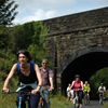
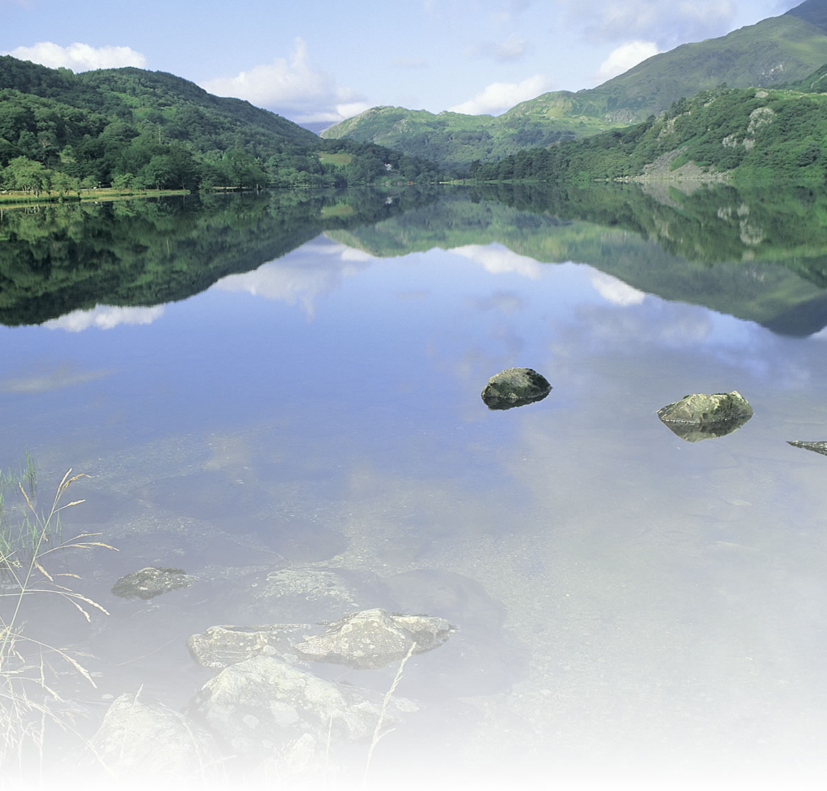
The path climbs steadily as it heads north from Pontypool through Abersychan to Blaenavon, soon entering a long stretch of lovely broadleaf woodland, with fine views to the east across the valley of Afon Llwyd.
With a climb of over 650ft (200 metres) up to Blaenavon it comes as no surprise that the trip back down to Pontypool is a lot easier.
Blaenavon played a significant part in the Industrial Revolution in the 19th century: the town became the home of mine owners, managers and workers of the ironworks and Big Pit Colliery when first established. Many of the schools, shops and chapels built in those early days are still standing today: the town contains 17 listed buildings, including Blaenavon ironworks, one of the best preserved examples of 18th-century ironworks in Western Europe. Built in 1788, the ironworks reached their zenith in the 1820s.
The viewing platform allows visitors to see the blast furnaces, casting house, water balance lift and workers’ houses. At Big Pit Mining Museum you can experience going underground in a real colliery.
Natural attractions:
- Broadleaf woodland north of Abersychan, valley views
Visitor attractions:
- Big Pit Mining Museum, Blaenavon
Route submitted by: Sustrans
Tags
Route map
View Larger Map
Comments (0)
Key route details
- Region/Area:
South Wales Valleys
- Distance:
9 miles
- Time needed:
1.5 hours
- Classification:
Medium
- Traffic:
Traffic-free
- Surface:
Mixed
- NCN Route:
National Route 492
- Start:
Hanbury Road, Pontypool (near the A472 / A4043 roundabout)
- Finish:
Big Pit, Blaenavon
- Cycle hire:
Mountain Tours, Blaenavon. Tel: 01495 793 123
- Access:
Train station at Pontypool
- Maps and guides:
-
 Celtic Trail - East NN4B £5.99
- Links with:
Monmouthshire & Brecon Canal from Pontypool to Newport
The Brynmawr to Clydach railway path is just to the north
- Weather:
-

Thu
max: 12°C min: 9°C
-
Fri
max: 14°C min: 9°C
-

Sat
max: 14°C min: 14°C
-

Sun
max: 16°C min: 14°C
Choose another route