Celtic Trail
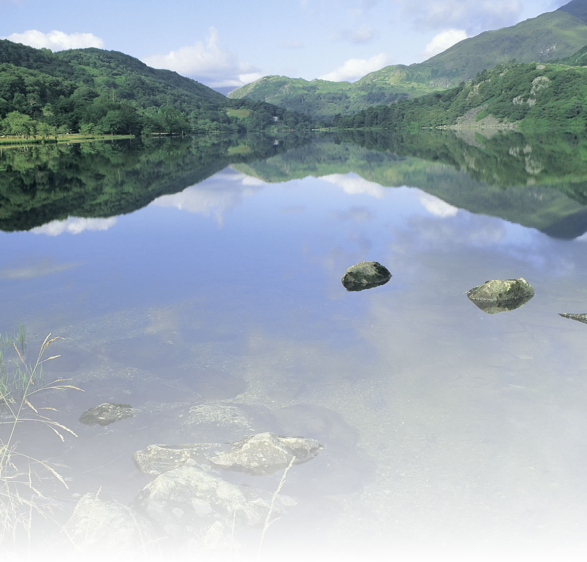
Running across Wales at its widest point, the Celtic Trail takes in St David’s, Britain’s smallest city, the spectacular Pembrokeshire Coast National Park, dramatic castles in Haverfordwest, Pembroke and Kidwelly, the magnificent Llanelli Millennium Coastal Park and the wide sweep of Swansea Bay. Here you have a choice of either climbing to almost 2000ft on the beautiful and rugged High Level Route through the vast forestry holdings cloaking the hillsides between Neath and Pontypridd or of following the low level route closer to the coast through Margam Country Park and Parc Slip Nature Reserve, to the north of Bridgend.
The course of the Celtic Trail and Lôn Las Cymru briefly run parallel between Pontypridd and Abercynon. Outstanding regeneration works have created a splendid and largely traffic-free route from Trelewis, north of Abercynon, down through the wooded delights of Sirhowy Valley Country Park and along the towpath of the Monmouthshire & Brecon Canal into the heart of Newport. An amazing aerial trip on the Transporter Bridge takes you to the east side of the River Usk, leaving you with a few miles of easy and flat cycling to reach Chepstow and one of the finest castles in the whole of Britain.
Daily stages
The route can be broken down into stages, most of which are approximately 30-45 miles long. You may wish to match these stages with each day's ride but this is only a suggestion: you may choose to do more than one stage per day or you may prefer to do a half day and take a break to visit some of the attractions along the way. The stages start and finish in towns where there will be a reasonable choice of accommodation and refreshments.
The route is best ridden from west to east to make use of the prevailing westerly winds. Apart from the very first stretch, from Fishguard to St David's, where you are heading almost due west and are likely to feel the wind strongly in your face, the winds should generally help you as you travel east towards Chepstow.
Stage 1: Fishguard* to Broad Haven (36 miles).
Stage 2: Broad Haven to Laugharne (46 miles).
Stage 3: Laugharne to Kidwelly (32 miles).
Stage 4: Kidwelly to Swansea (Mumbles) (29 miles).
Stage 5: Swansea to Pontypridd via High Level Route (40 miles).
Stage 5A: Swansea to Pontypridd via Low Level Route (40 miles).
Stage 6: Pontypridd (Quakers Yard) to Chepstow (44 miles).
* There is only one train a day to Fishguard, arriving at approx 1330 hrs, so you may wish to go only as far as St David's (18 miles)
Natural attractions:
-
Pembrokeshire coastline
-
Llanelli Millennium Coastal Park
-
Parc Slip Nature Reeerve
Visitor attractions:
-
St David’s Cathedral
-
Pembroke Castle
-
Laugharne with its Dylan Thomas connections
-
Kidwelly Castle
-
Tondu Ironworks
Route submitted by: Sustrans
Tags
Route map
View Larger Map
Comments (0)
Key route details
- Region/Area:
South Wales
- Distance:
220 miles
- Time needed:
5-7 days
- Classification:
Challenge
- Surface:
Mixed
- NCN Route:
National Routes 4 & 47
- Start:
Fishguard
- Finish:
Chepstow
- Access:
Train stations at Fishguard and Chepstow and several stations in between
- Maps and guides:
-
Celtic Trail - East NN4B £6.99  Celtic Trail - West NN4C £6.99
Celtic Trail Guidebook – £6.99 Celtic Trail Leaflet – Free PDF - Links with:
Lôn Teifi in Fishguard;
Lôn Las Cymru near Pontypridd.
Choose another route